
TABLE MOUNTAIN ALBERTA
Distance: 11.56 km Time: 4h20min Elevation Gain: 866 m
AllTrails Rating:  – HARD
AllTrails Link: Table Mountain Hike Alberta

GETTING TO TABLE MOUNTAIN ALBERTA
Getting to Table Mountain in the Crowsnest Pass shouldn’t be difficult, but for me it was. I used voice to Google Maps for “Table Mountain” and twice ended up on the eastern side of the mountain instead of the parking lot at Beaver Mines Lake in Castle Provincial Park. There was also spotty mobile coverage down in this corner of the province, so make sure you have the proper location in your GPS before you head out.
From Calgary, the Beaver Mines Lake parking lot (where the trailhead for Table Mountain can be found) is just over 2 and a half hours. We set our alarms for a 6a departure so we could beat the crowds for this popular trek and even after getting lost twice, managed to be on the trail just after 9a.
HIKING TABLE MOUNTAIN IN ALBERTA REVIEW
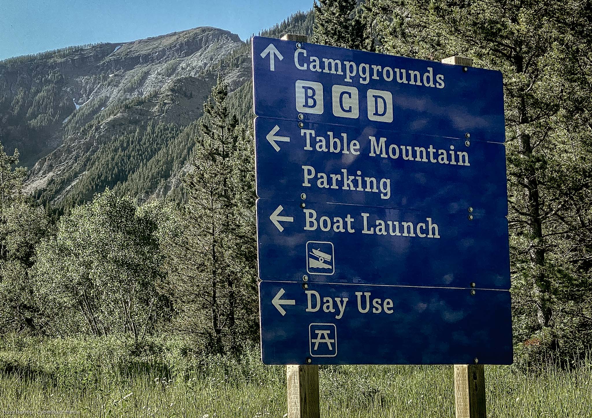
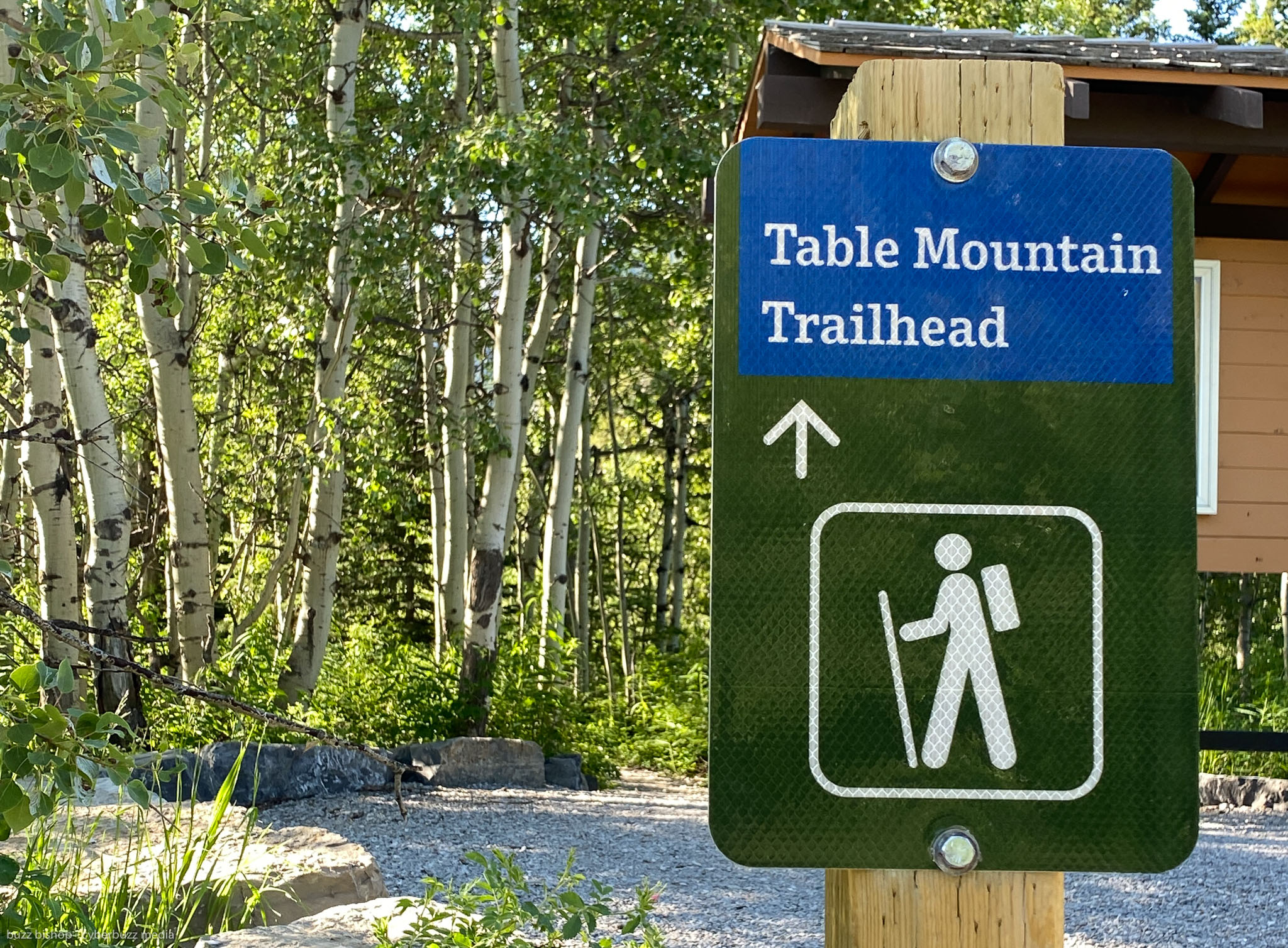
Once our mess of directions were sorted out, we pulled in to the parking lot at Beaver Mines Lake. There are few different places to pull in (we parked at the boat launch, but there’s also a very small lot for half a dozen vehicles near the actual trail head). The map below should help you sort it out.

When you read reviews of the Table Mountain hike in the Crowsnest Pass, 2 things are often repeated: “there are lots of bugs” and “it’s windy.”
They’re both absolutely right.
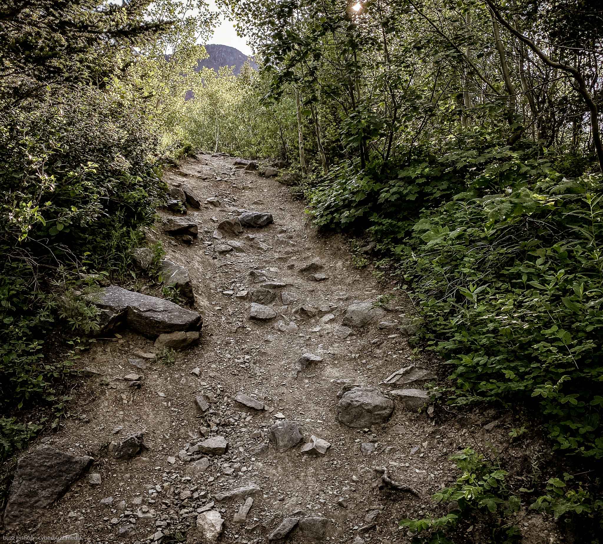
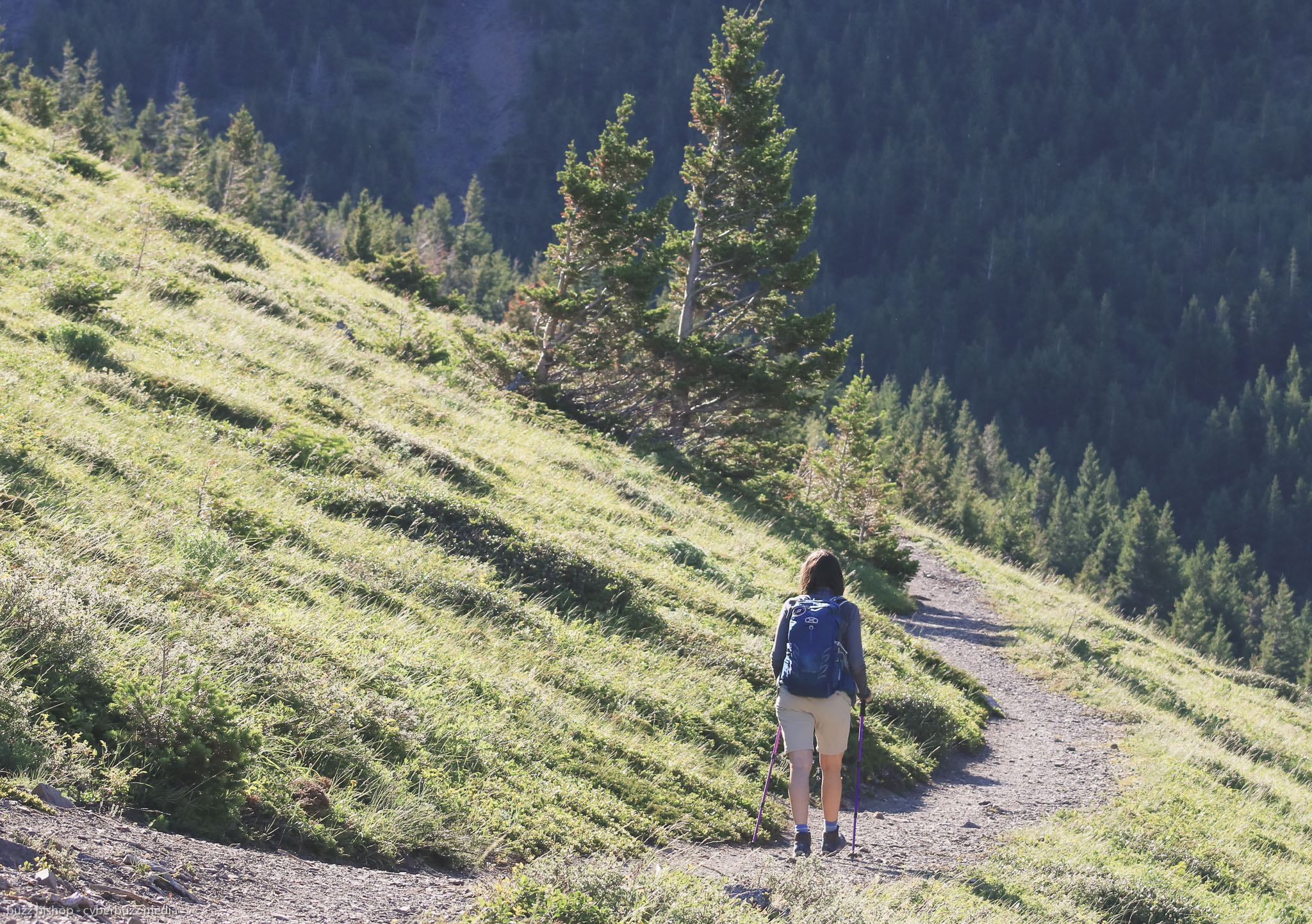
The beginning of the trail winds it’s way towards the back of Table Mountain through skunk cabbage meadows and in a canopied forest area. Stop for too long to enjoy the view here and the bugs will be in your face in a second. If you keep moving, they’re not that much of a bother.

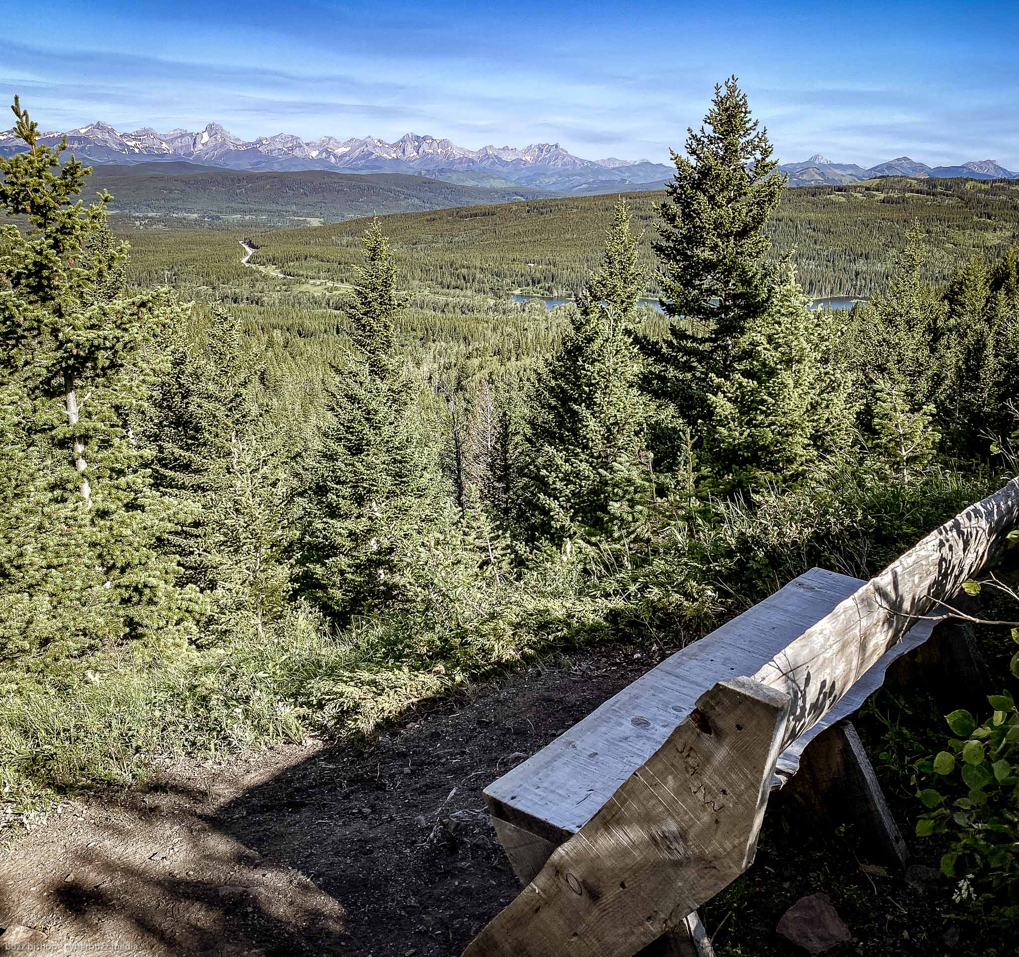
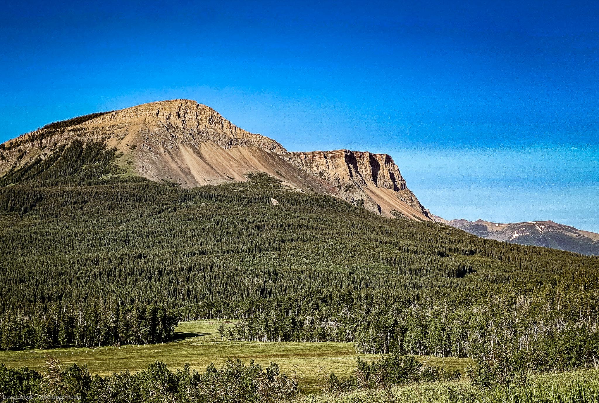
Once you climb up a bit and pop out of the forest, you’re left with your first view of what you’ve accomplished and what’s ahead. This little wooden bench offers a nice lower view of the Crowsnest Pass, but if you turn behind you, you can see the peak of Table Mountain looming ominously to remind you that you’re only about 1/3 of the way there.
After the bench you continue to head towards the backside of the mountain and you get a hint at the wind that is about to come before you turn into a craggy valley. This is where the climb begins as you follow the creek bed up to the heart of the mountain.

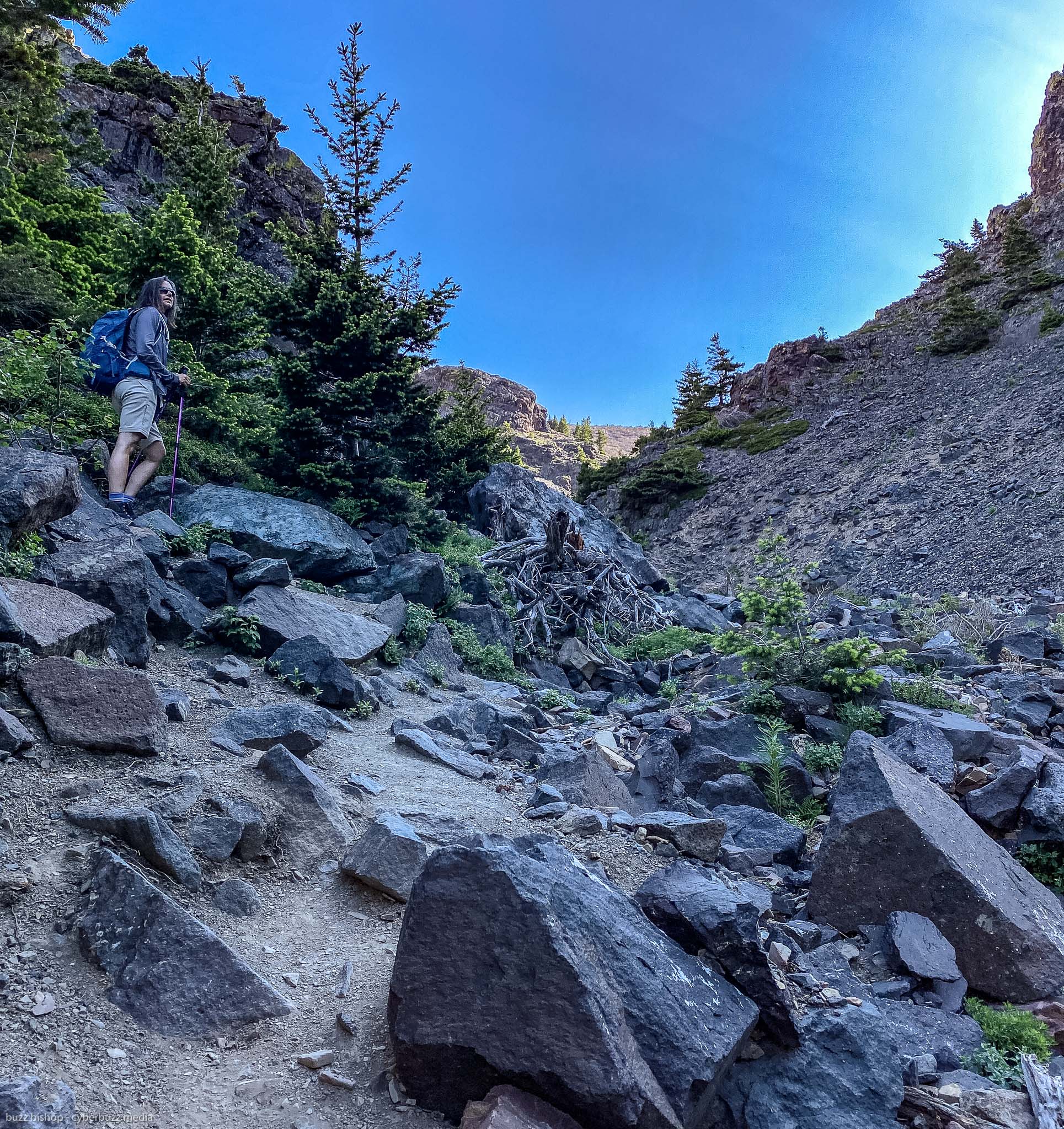
There are three parts to the Table Mountain hike: the forested lowland, the craggy riverbed, and then the steep scramble to the top.
It can be easy to lose your way and follow a random path through this area, so keep your eye out for red trail markers to keep you headed in the right direction. Pre-downloading your trail map from AllTrails, and recording your hike as you go on your phone, is also a good way to keep from geting lost.

While we saw young families on the hike, I will say that we found this to be a particularly technical trek. It is very steep in parts, and the craggy creek bed is filled with loose rocks that you need to carefully pick your way through. It’s not hard, per se, you just need to be paying attention and use your poles properly.
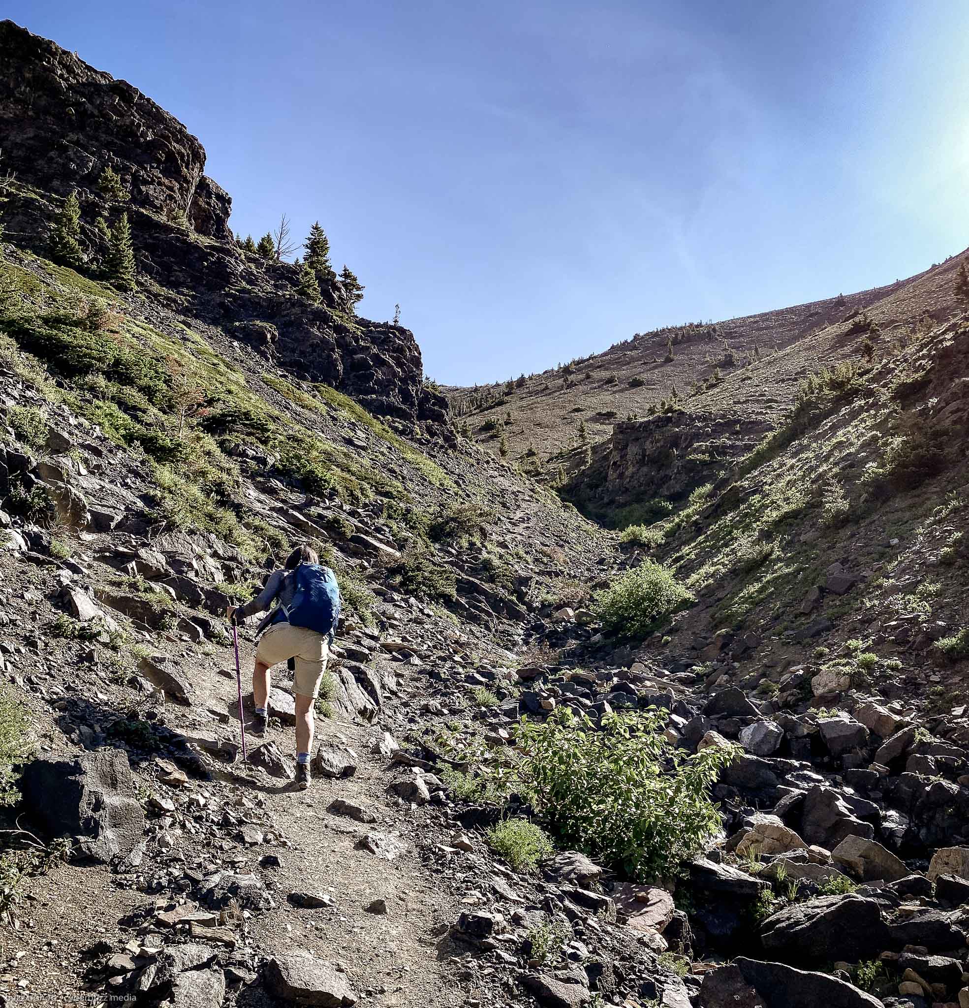
Once you get to the head of the creek valley, you make a hard left turn to climb up the backside of Table Mountain. This is where I made a critical error following a blazed trail instead of taking the switchbacks to the top.
If you want, you can go STRAIGHT UP the back of the mountain. People have, and I thought this was the trail. It was a very steep and slippery scree slope that I was part way up when my partner noticed the switchbacks off to the left. She doubled back and took them, while I powered straight up.
It was a silly move. It needlessly burned a lot of energy and it was a ridiculously steep pitch where I would take one step up and slide 1/3 of a step back. It was foolish.

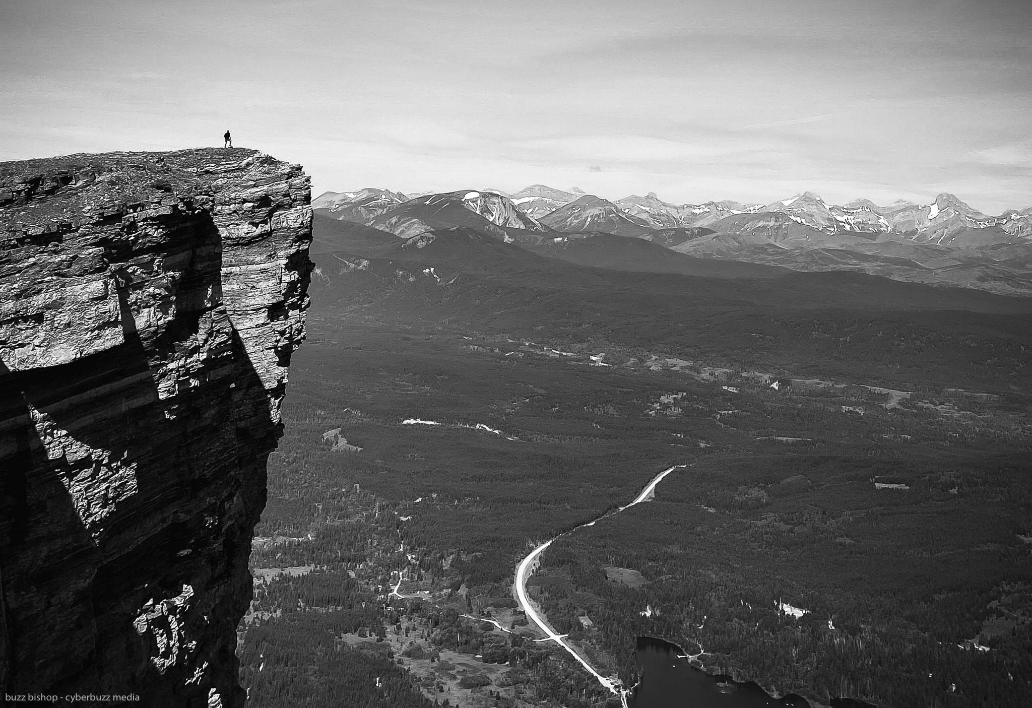
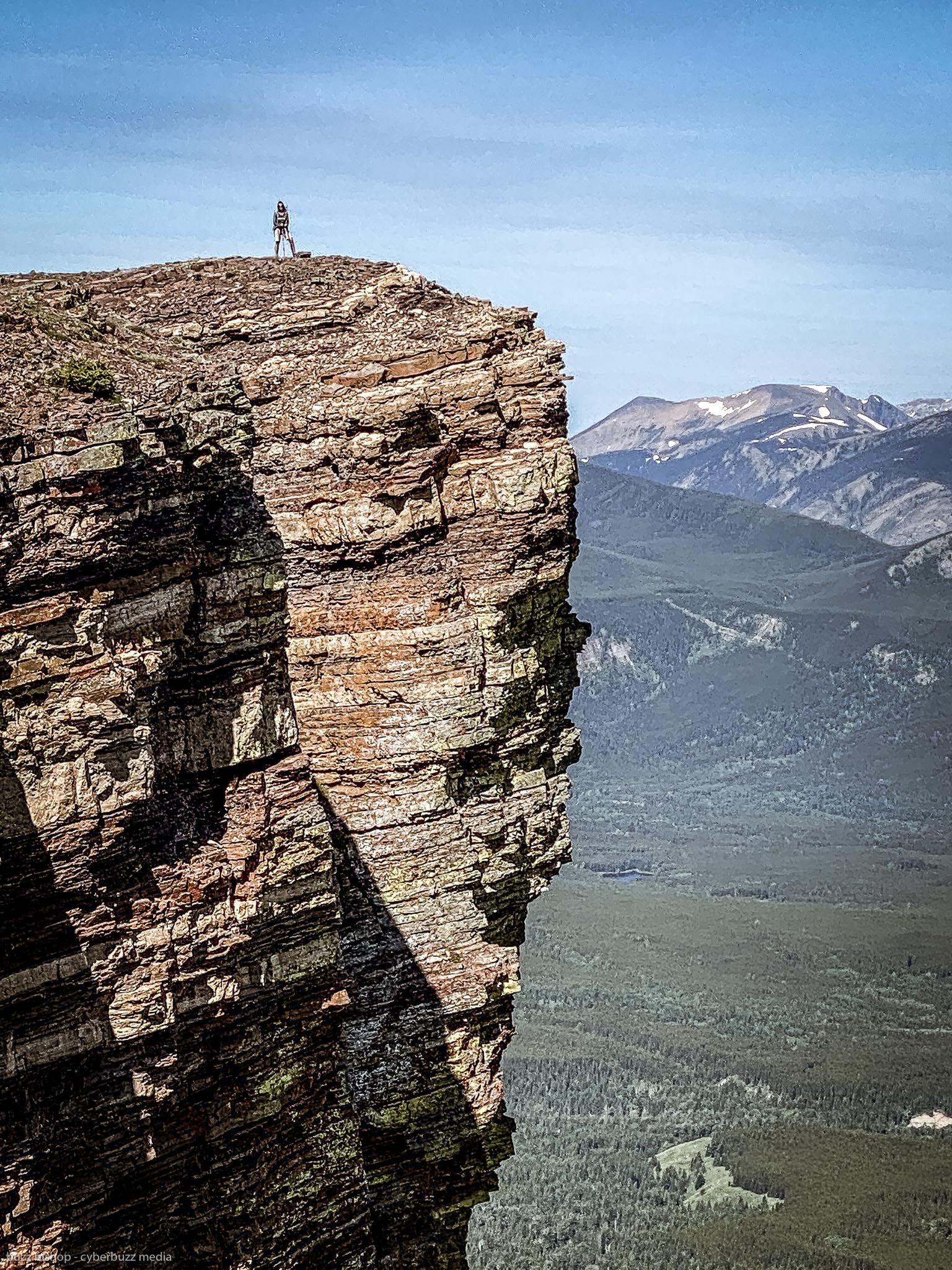
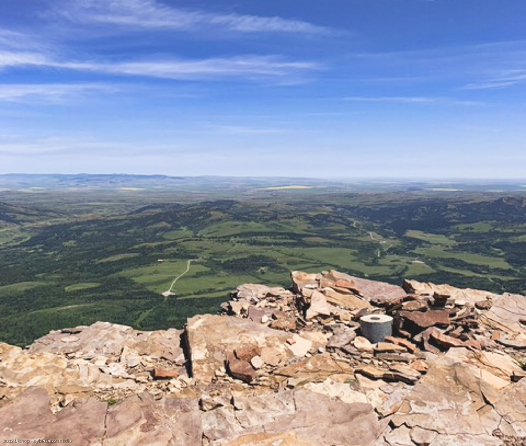
Eventually, we popped out at the top of Table Mountain and were greeted by spectacular 360 degree views of the Crowsnest Pass and Castle Provincial Park.
The dramatic photo that everyone wants is lingering on the edge of a towering cliff with the Rocky Mountains and Crowsnest Pass in the background. This is where the second truth of this hike comes into play: the wind.
On our hike the wind was blasting up the back of the mountain and blowing straight over the edge. It felt like all you’d have to do is outstretch your arms and you’d be able to fly over the valley below.
That’s all to say: be careful how close you get to the edge, the wind wants to blow you over. If you have your hiking partner swing around to the east side of the ridge, there’s a nice curve to the mountaintop that still lets you take a death-defying Instagram worthy shot safely.
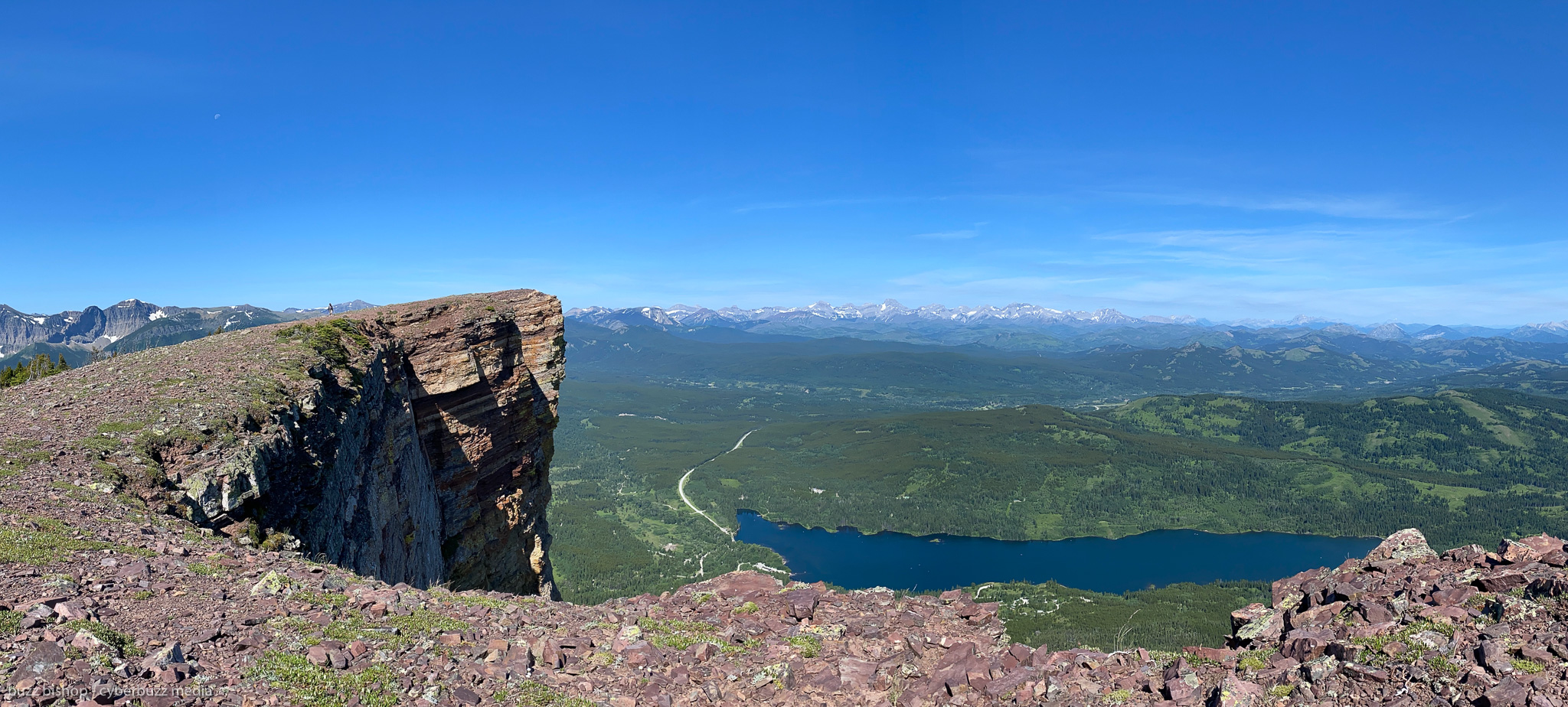
While that first peak of Table Mountain is a popular end point for many, you can wander over to a higher second peak further east.
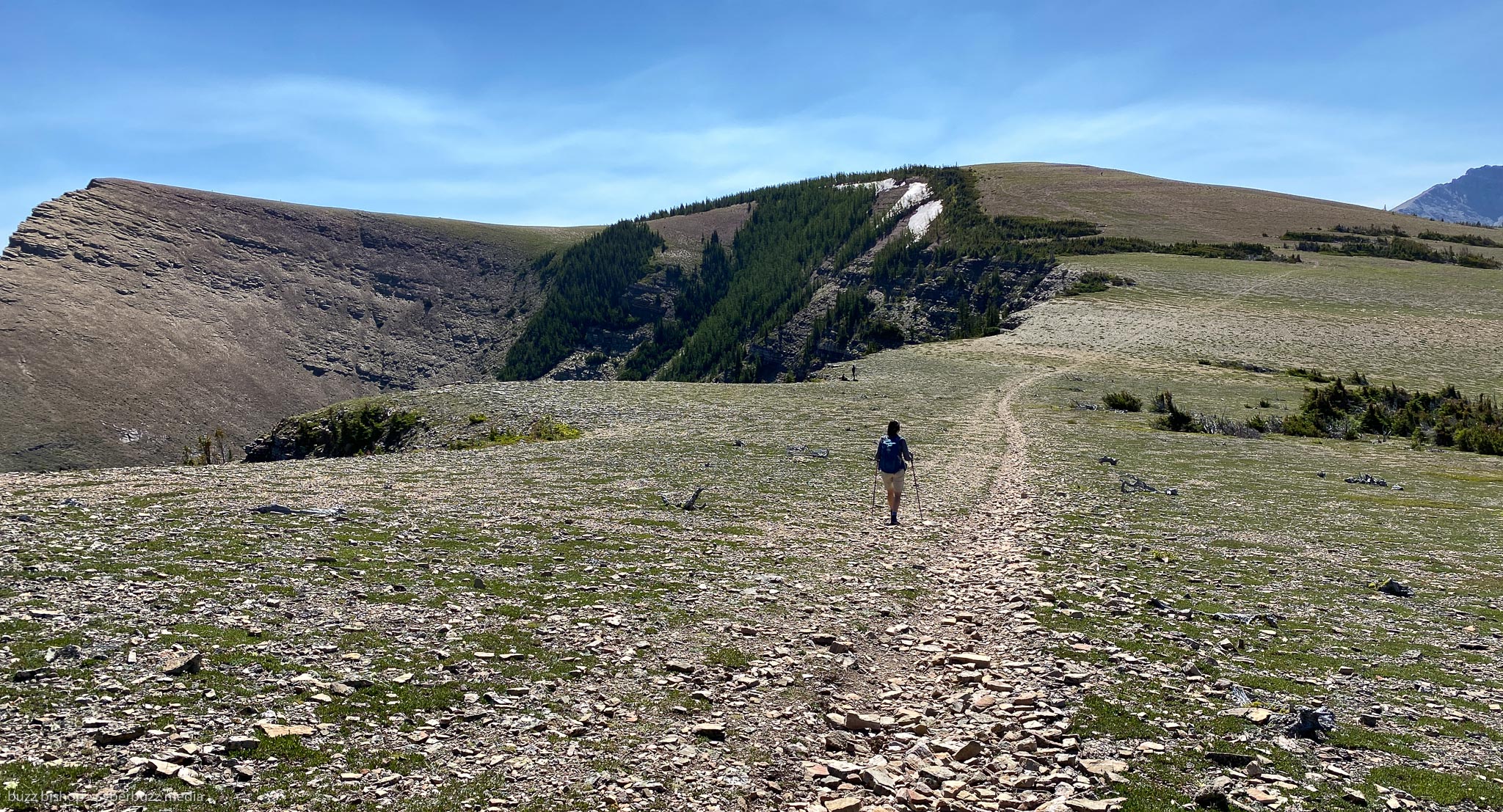
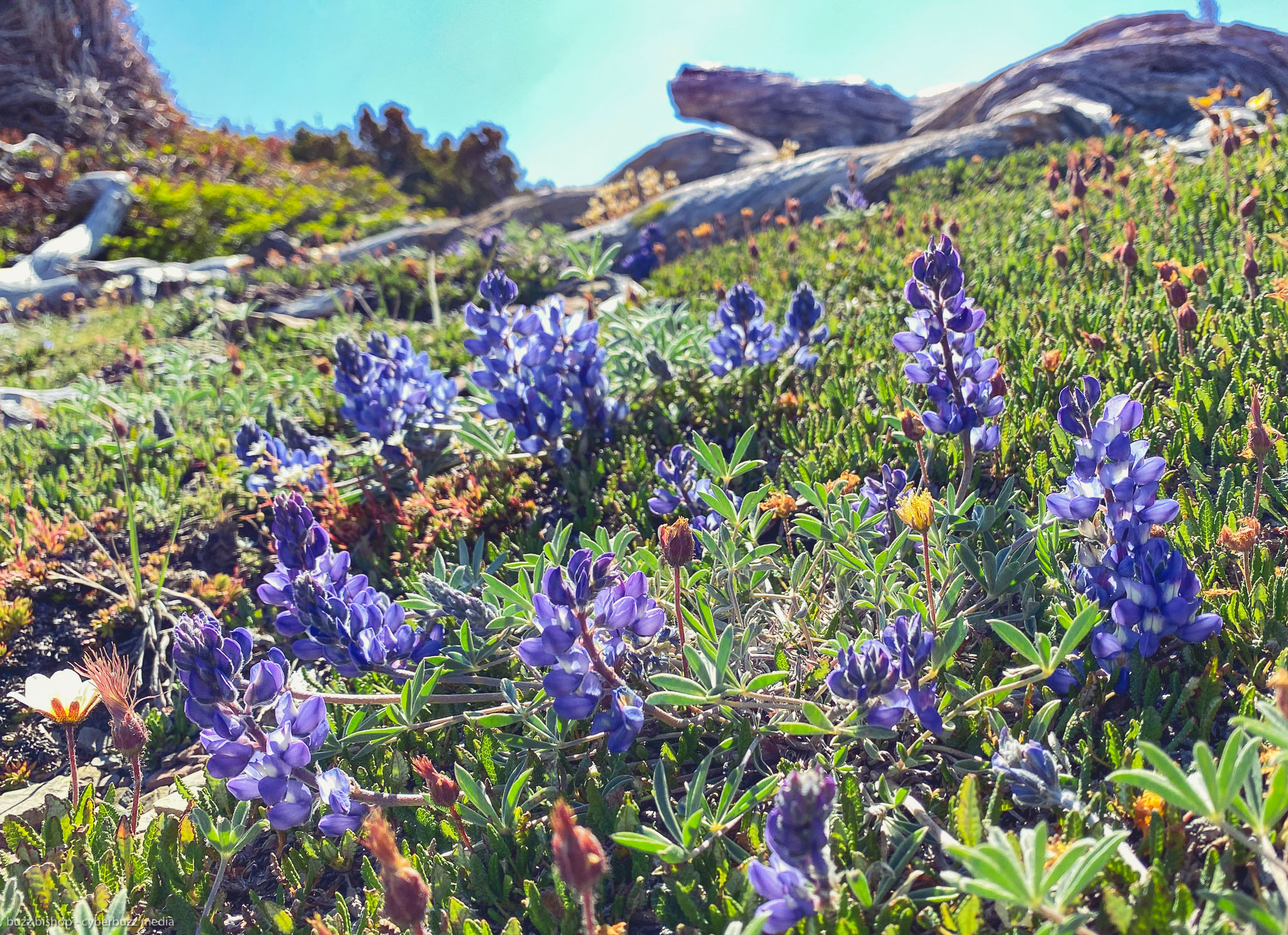
This trek is a little easier as you follow an easy rocky path across a highland covered in pocket of alpine blossoms, through another small forest until you reach the actual peak of Table Mountain as declared by a geological survey stump. It feels like you can almost see al the way to Lethbridge.
Remember, what goes up must come down and this hike is probably even more technical on the way down than it is on the way up. It was a thigh burner for us and the wind helped to easily deceive how hot it was on this day. I plowed through my water, but took the chance to fill up in the creek on the way back down.
All in all, this epic hike came out measured at a few kilometres longer than the AllTrails routing suggests and took us 6 hours to get up, have lunch, wander, and enjoy the view, and get back down.
It made for a fantastic day trip from Calgary, but I might have liked to have spent a few days exploring the area.

HIKING TABLE MOUNTAIN TIPS
1. Pre-download your maps. From the directions to the Table Mountain trailhead to the actual AllTrails trail map, having maps locally on your phone helps a lot, especially in an area where connectivity is spotty.
2. Get here early if you want the instaworthy pictures. Hitting the trailhead anytime after 10am on a weekend and you’re going to have crowds at the top and it will be more difficult to get the dramatic shots.

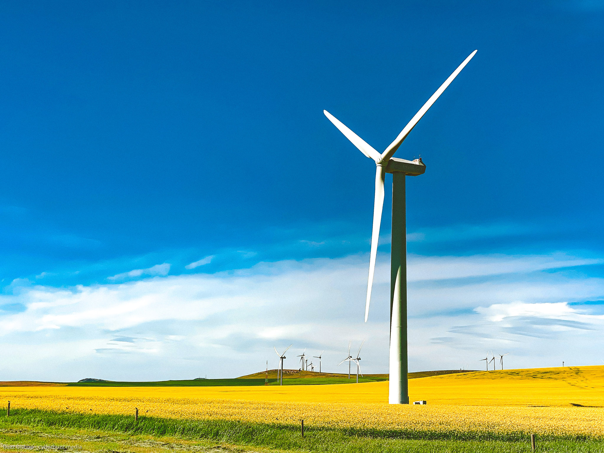
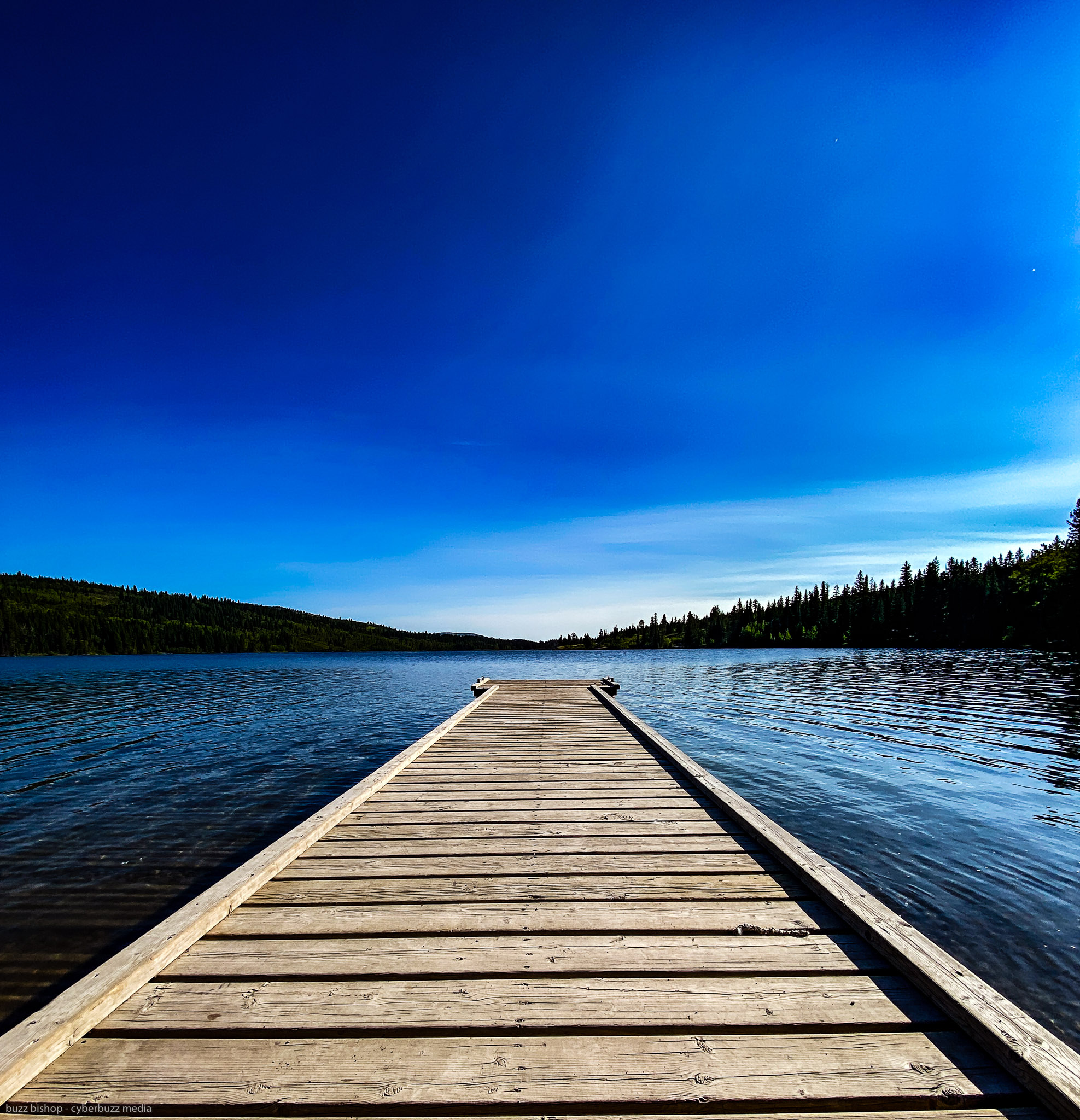
3. Stay the day! You’ve come a long way from Calgary to get here, so take the time to enjoy more of what the Crowsnest Pass has to offer. Maybe it’s a camping trip to the Beaver Mines Campground, or a post hike dip in Beaver Mines Lake, even a few moments pondering the fields of turbines, or soaking by Lundbreck Falls make the trip worth it.
CHECK OUT MORE OF MY
ROCKY MOUNTAIN HIKING REVIEWS HERE

![]()

Dad. Broadcaster. Writer.
Three time Guinness World Record Holder.
I run the world for Team Diabetes.